
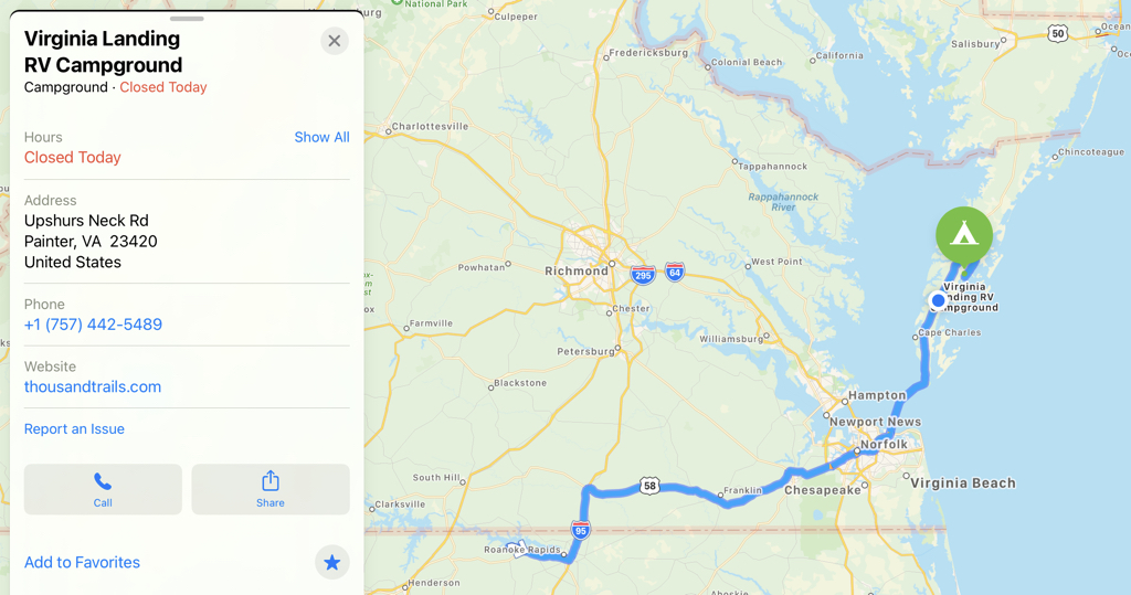
So…to be honest we didn’t know the eastern shore of Virginia existed. If you had given us a blank map to fill in, we would not have known what these states were over there. But we discovered the eastern shore and we’re pretty glad we did.
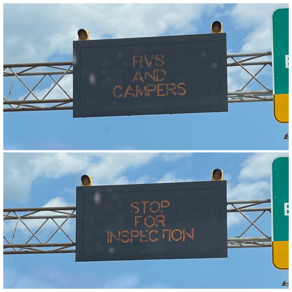
Turns out they didn’t mean it and they waved us on after we made the effort to get over to their little station. But later another official made us turn off our propane to enter the tunnel.
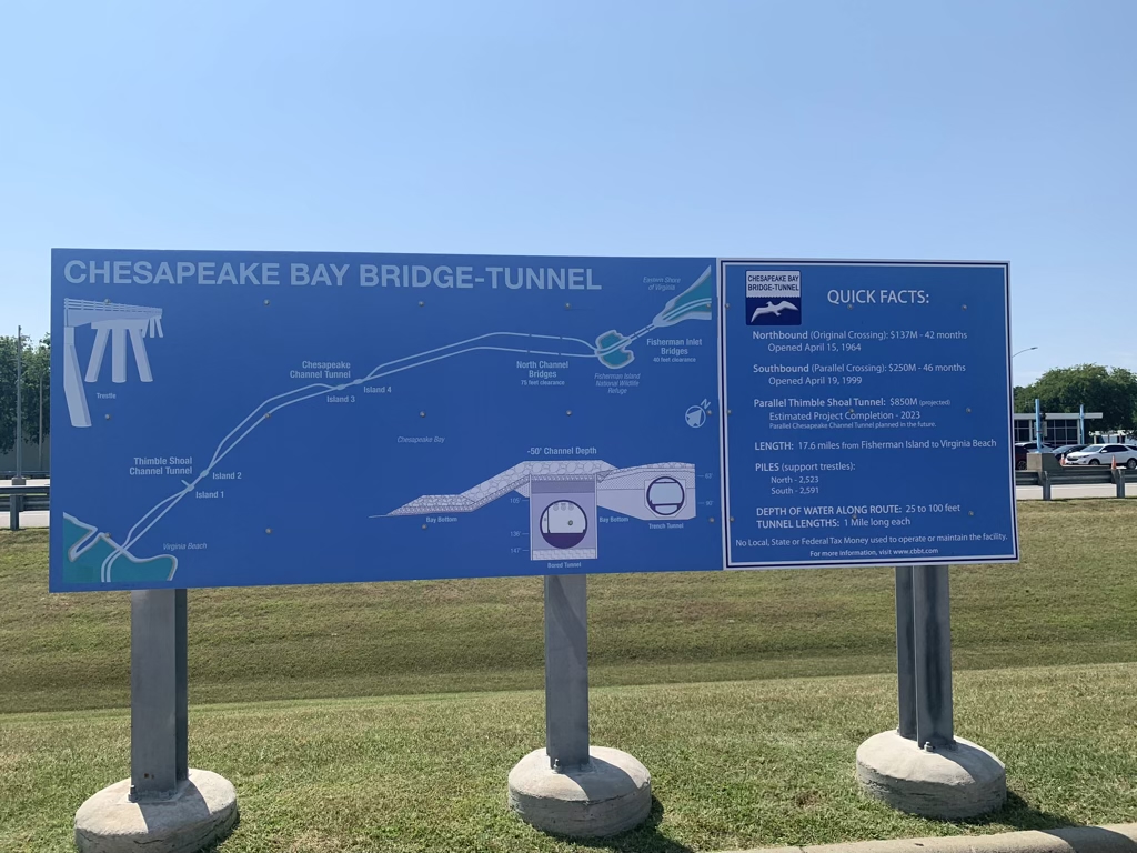
This thing was incredible. A bridge, then tunnel, then bridge, then tunnel, then bridge! A very cool experience in getting across the Chesapeake Bay. A very amazing engineering creation. The areas where it was a tunnel, left a channel open for boats above. Genius!
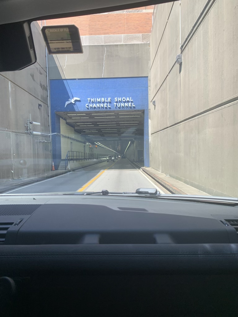
Going under!
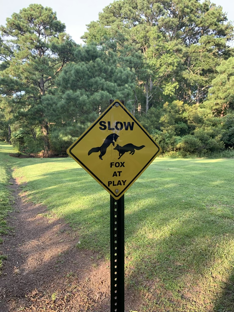
We thought it was just a cute sign until we actually saw foxes at play!
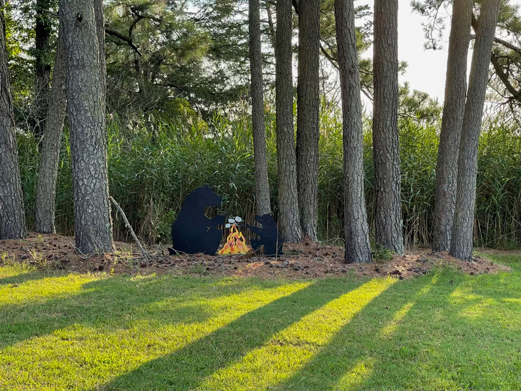
Yep, those are bears making s’mores in Virginia.
We had a teeny tiny view of the Atlantic Ocean between those other RV’s.
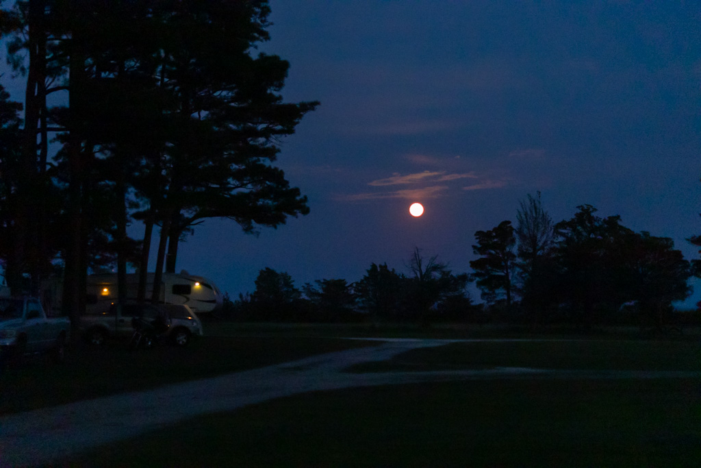
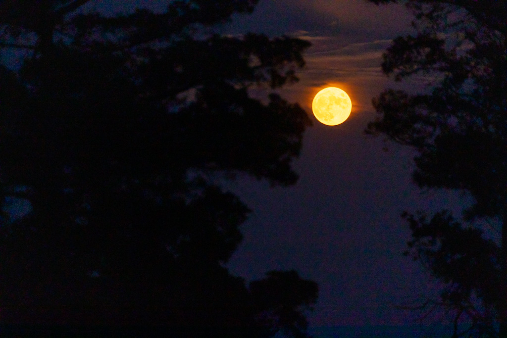
The very gorgeous full moon over the ocean.
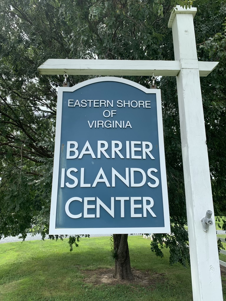
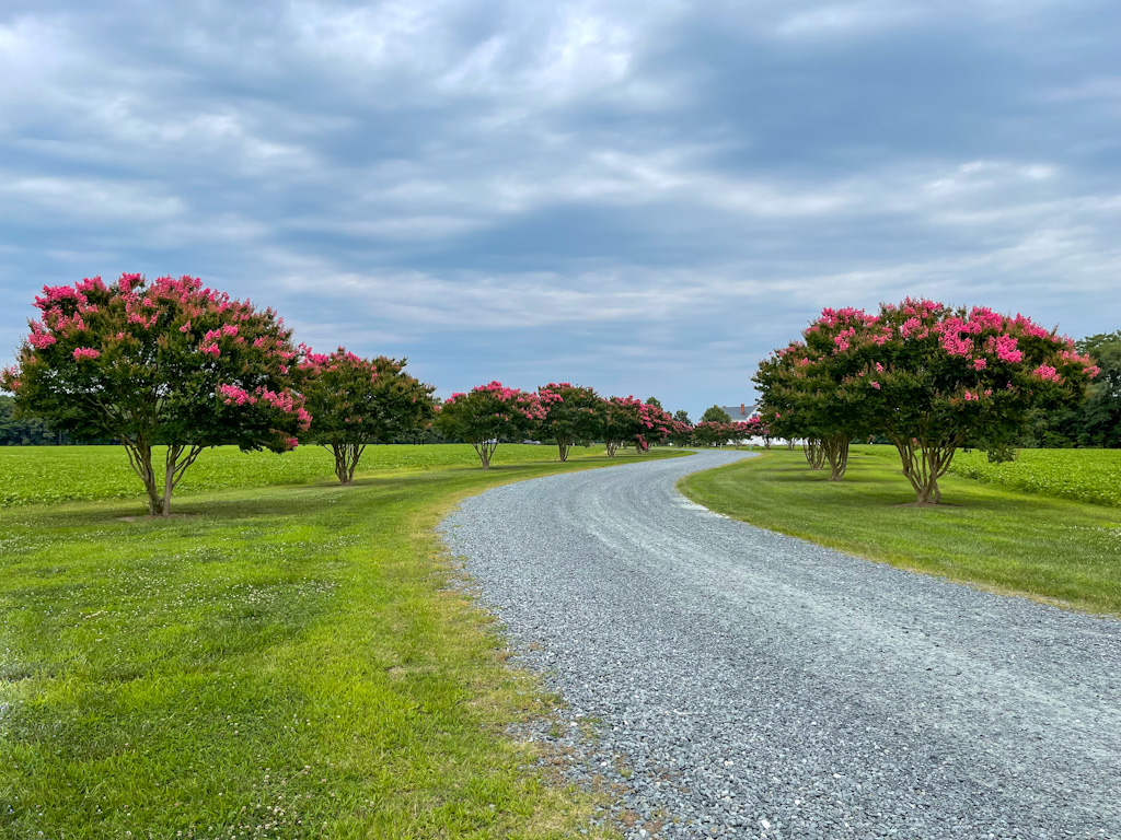
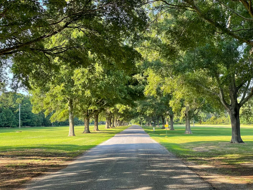
The beautiful drive into the Barrier Islands Center. This was a precious little museum with wonderful stories and history of the barrier islands that protect the eastern shore of Virginia but are no longer inhabited.
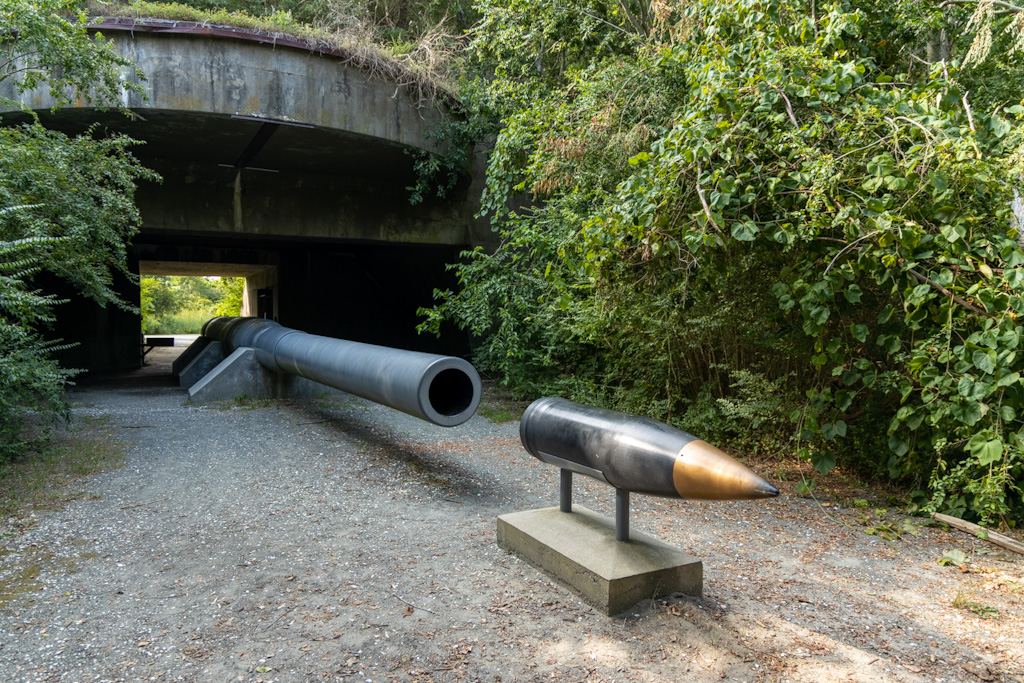
One of many interesting things to see at the Eastern Shore of Virginia National Wildlife Refuge.
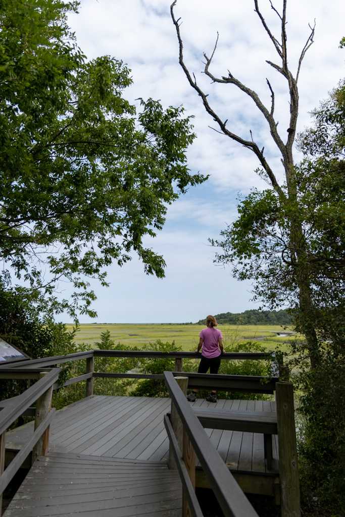
Checking the view of the marshes, the ocean and the faraway Cape Charles Lighthouse.
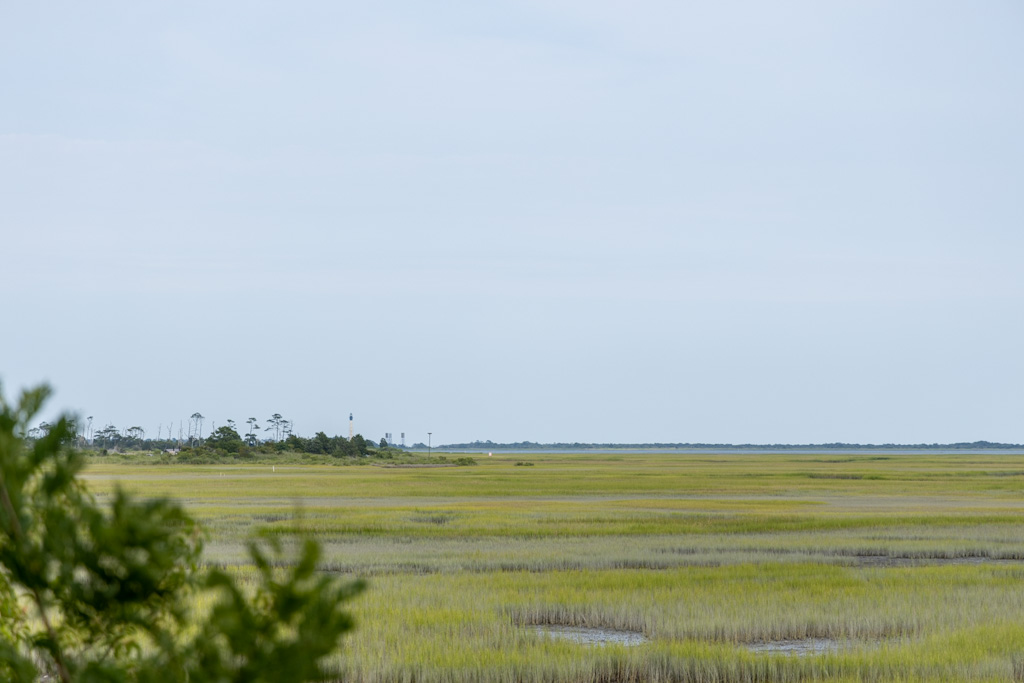
There’s the lighthouse, can you see it???
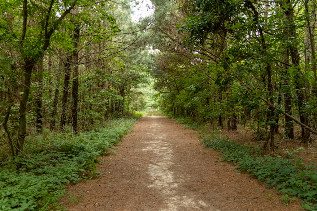
The path leading to Savage Neck Dunes.
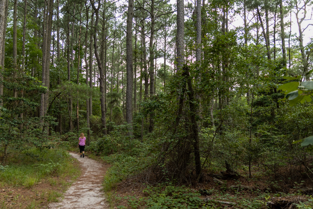
I guess she’s off on her own adventure.
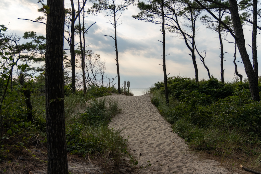
Almost there…
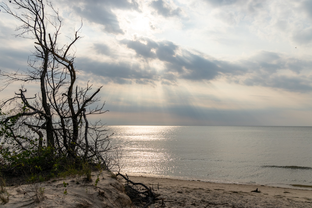
So worth it. Gorgeous western shore of the peninsula which houses the eastern shore of Virginia…what do people call this geographically? We don’t know. That’s the Chesapeake Bay, though! This little beach is Savage Neck Dunes and we loved it.
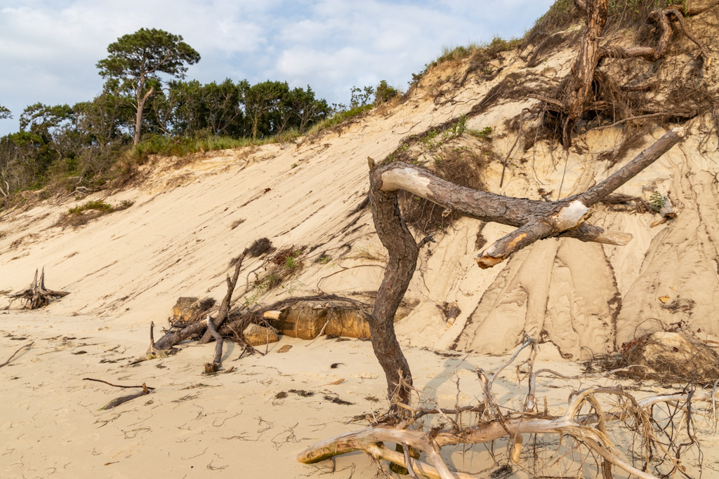
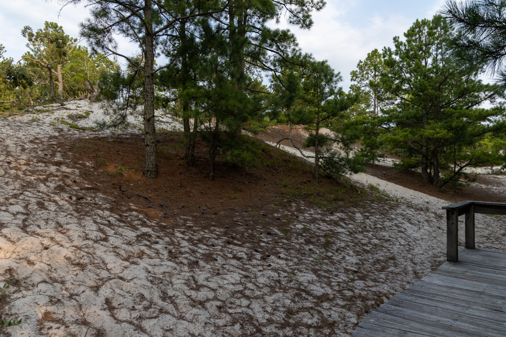
The trees were incredible. The dunes are some of the highest points on the entire peninsula.
It looks like it’s from Star Wars, but it’s just Virginia.
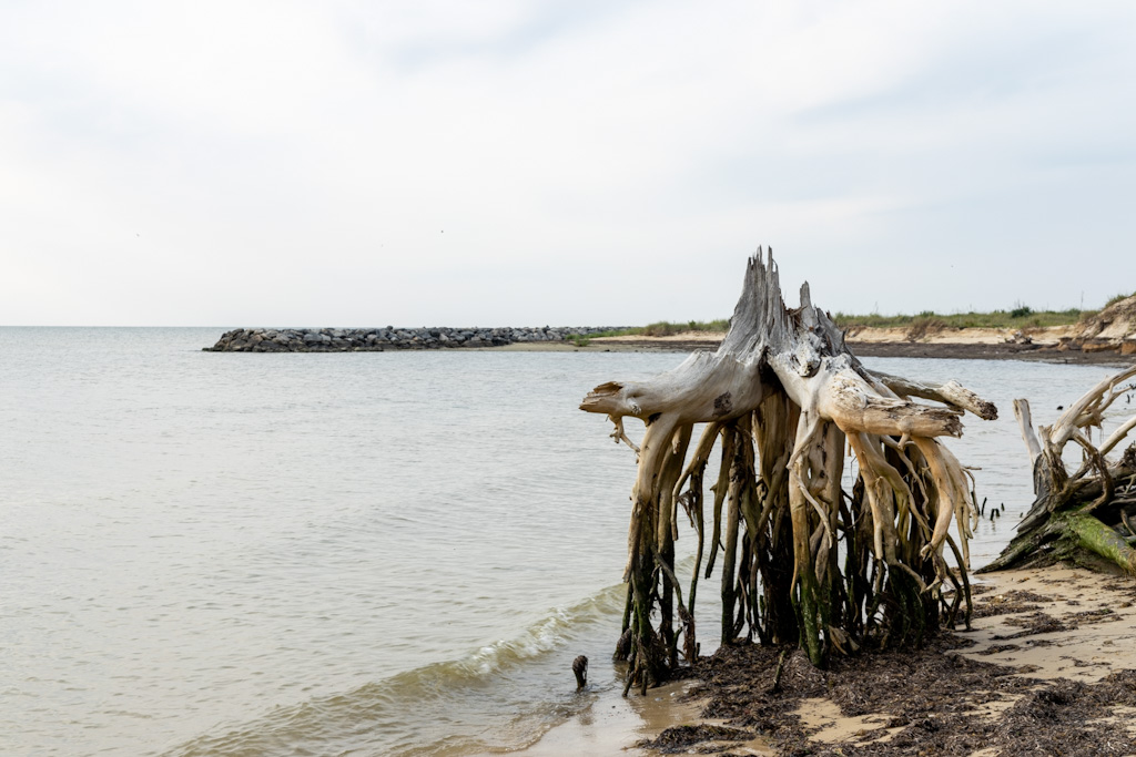
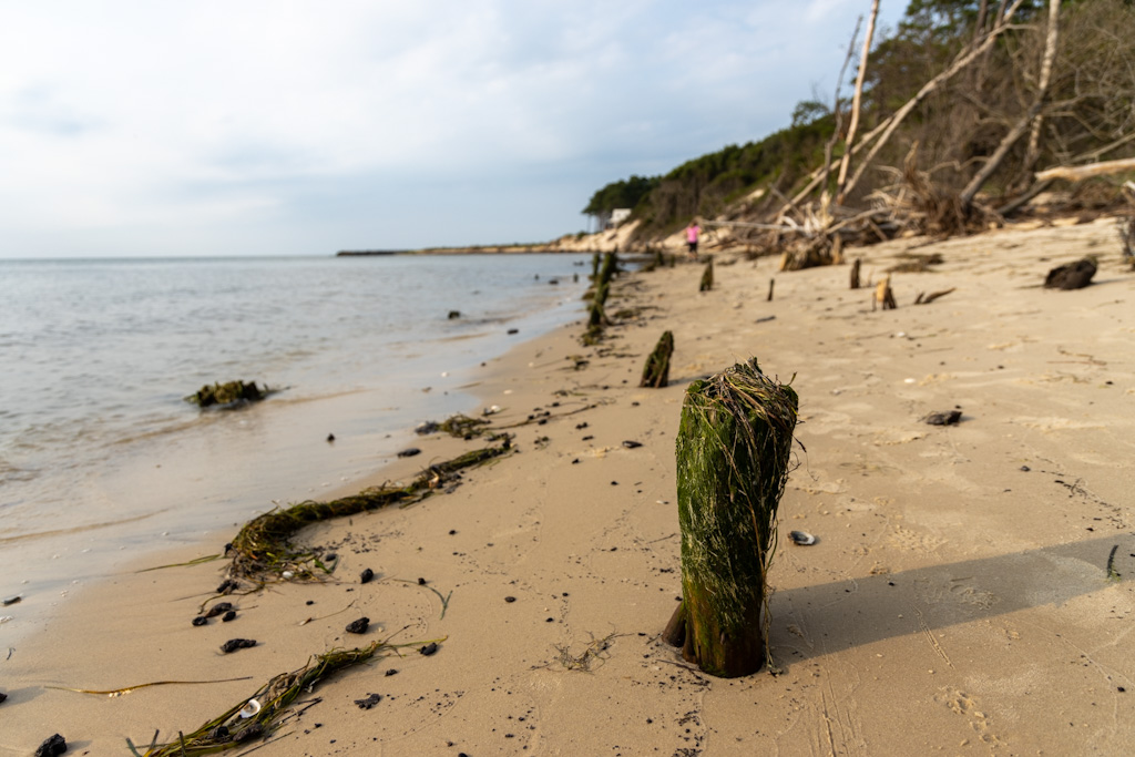
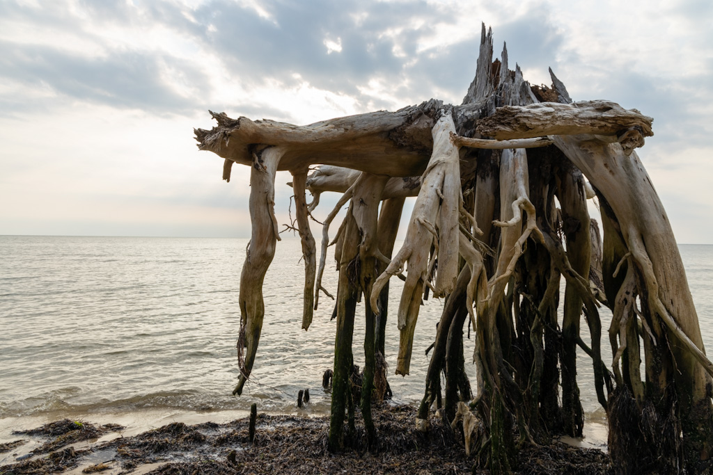
It’s a hidden gem of a totally private beach.
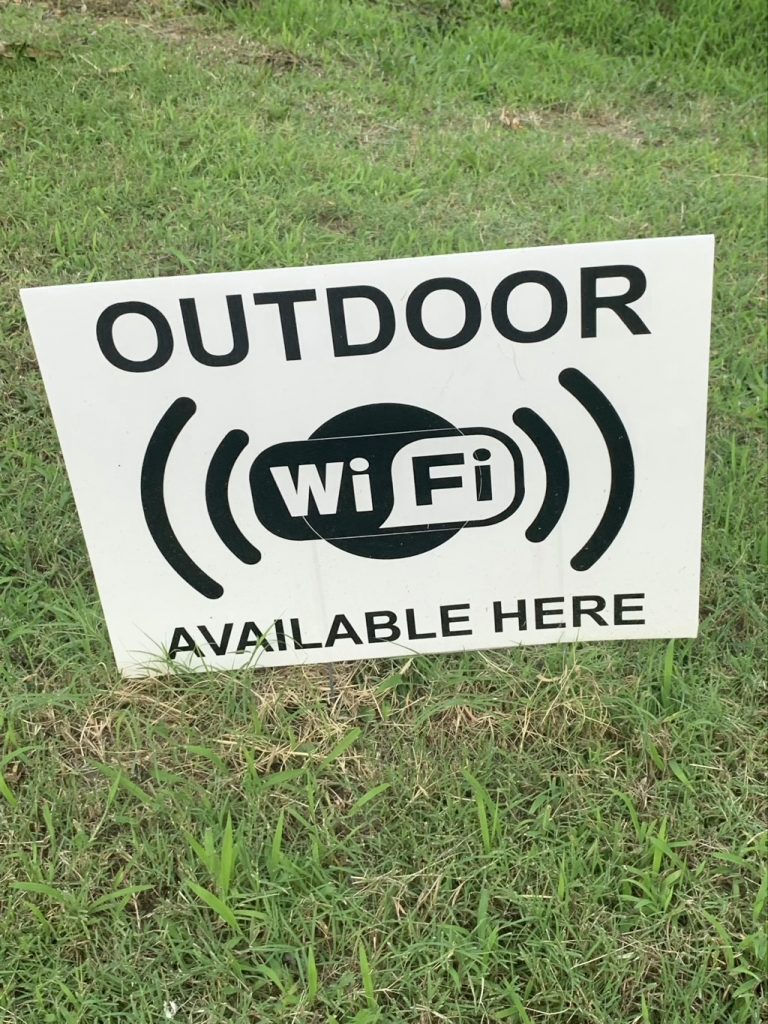
This became VERY important because this eastern shore is RURAL with a capital R. They had maps with numerous locations where you could use Wifi from the parking lot. It was much appreciated.
Actual footage of an actual fox actually taken by Kristi.
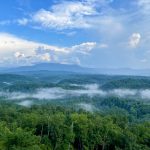
Drone footage 400 feet above our campground of the Machipongo River on one side and the North Atlantic Ocean on the other.


Bethany Pokorny
August 6, 2021 — 11:43 am
The drone footage captured a beautiful sunset.
Bethany Pokorny
August 6, 2021 — 11:47 am
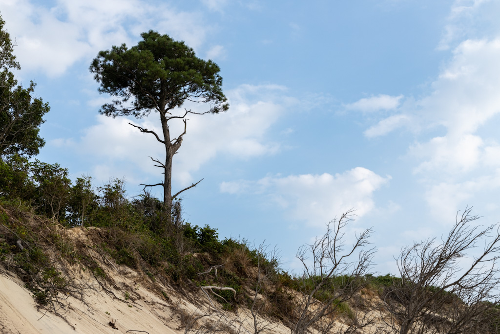
The picture of the pine tree on the beach seriously looked like the sand was snow. 😂