
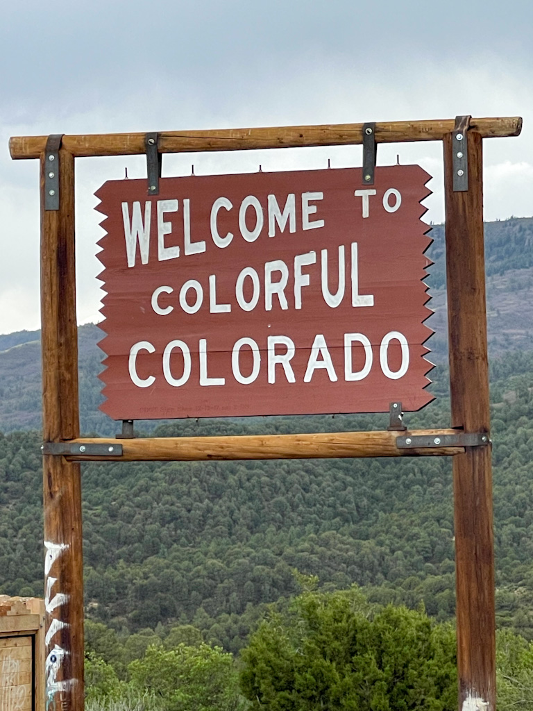
We chose the driving route for Pikes Peak but you can get there by cog railroad, biking and hiking. (Come on, biking? Who are these people?)
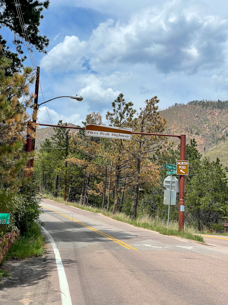
The start of the journey.
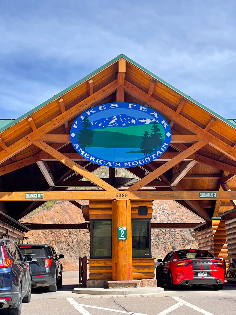
It’s about 19 miles starting here to the top.
Time lapse to the top. I’m glad Jerry didn’t drive this fast the whole way!
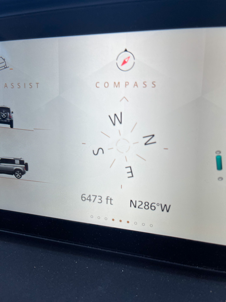
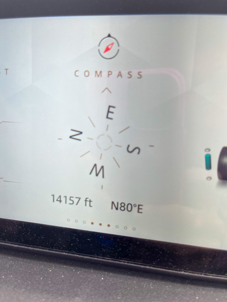
The starting altitude
Ending altitude
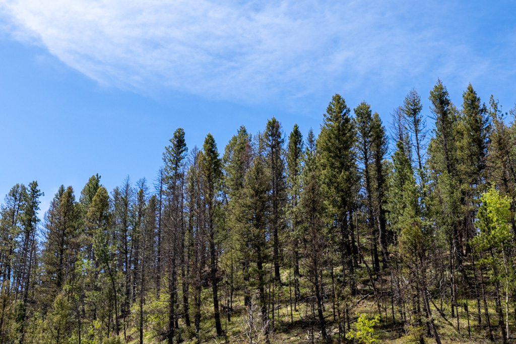
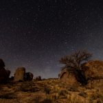
Tree picture for Julie Pritt
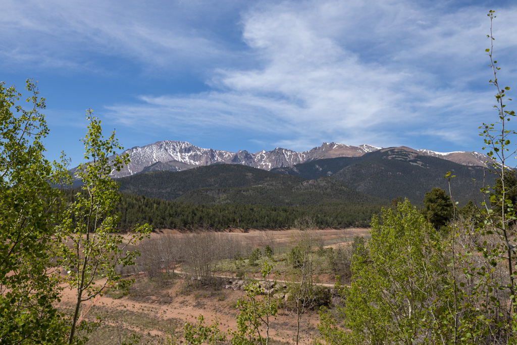
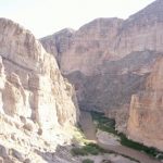
That the peak up there. We were heading for that.
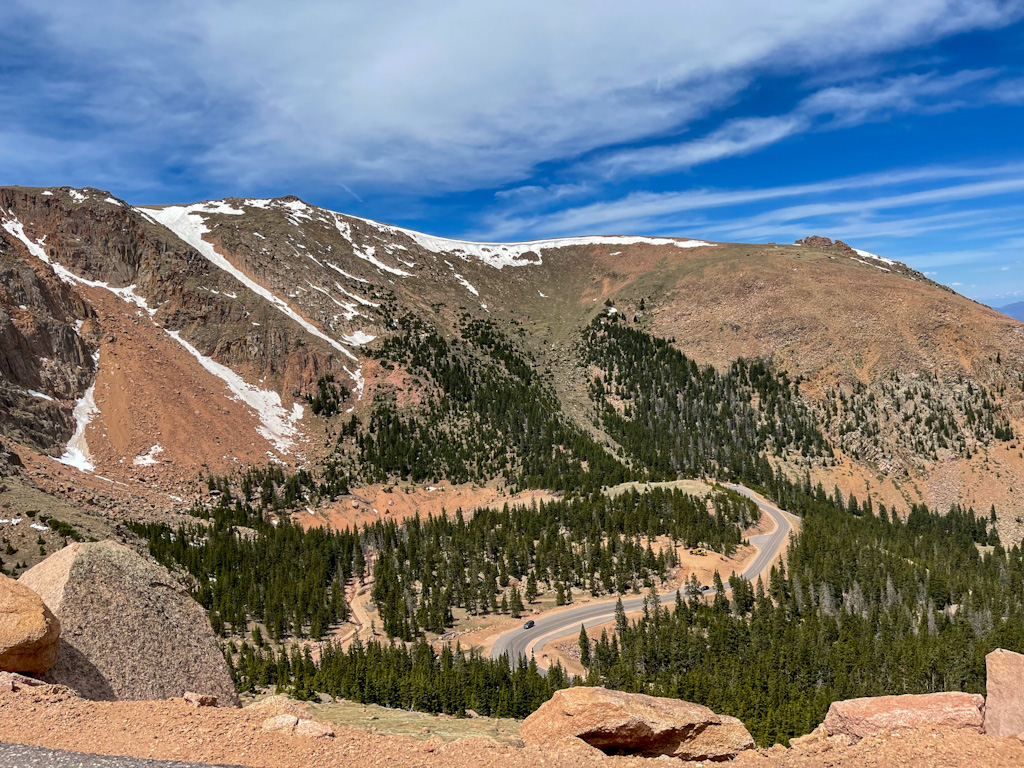
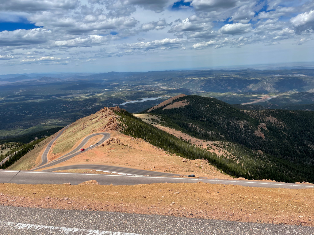
Notice the crazy road below but also the ridge of snow at the very top. It looks like it’s going to break off.
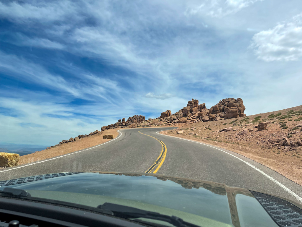
A long and winding road.
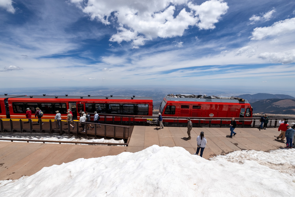
The cog railroad and the ridiculous snow in June!
That road is crazy at times!
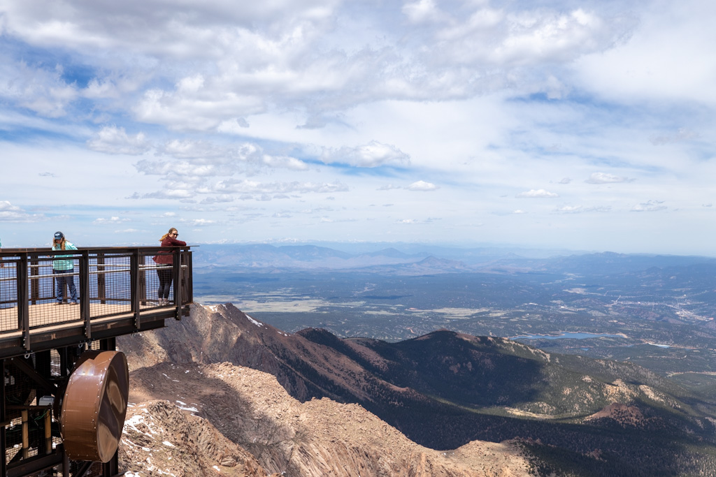
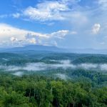
Amazing views.
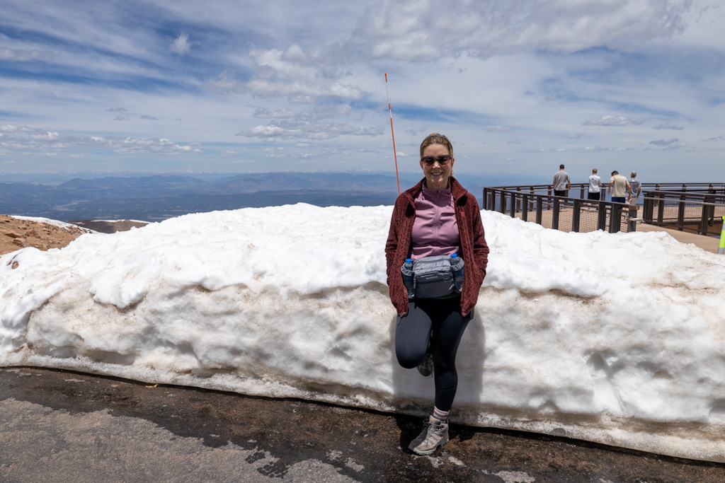
Some snow to lean on. BRRR. It was in the 40’s at the top.
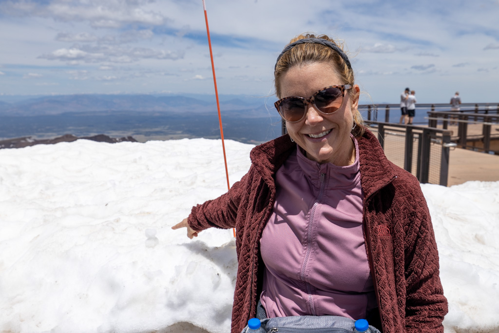
Jerry’s little snowman.
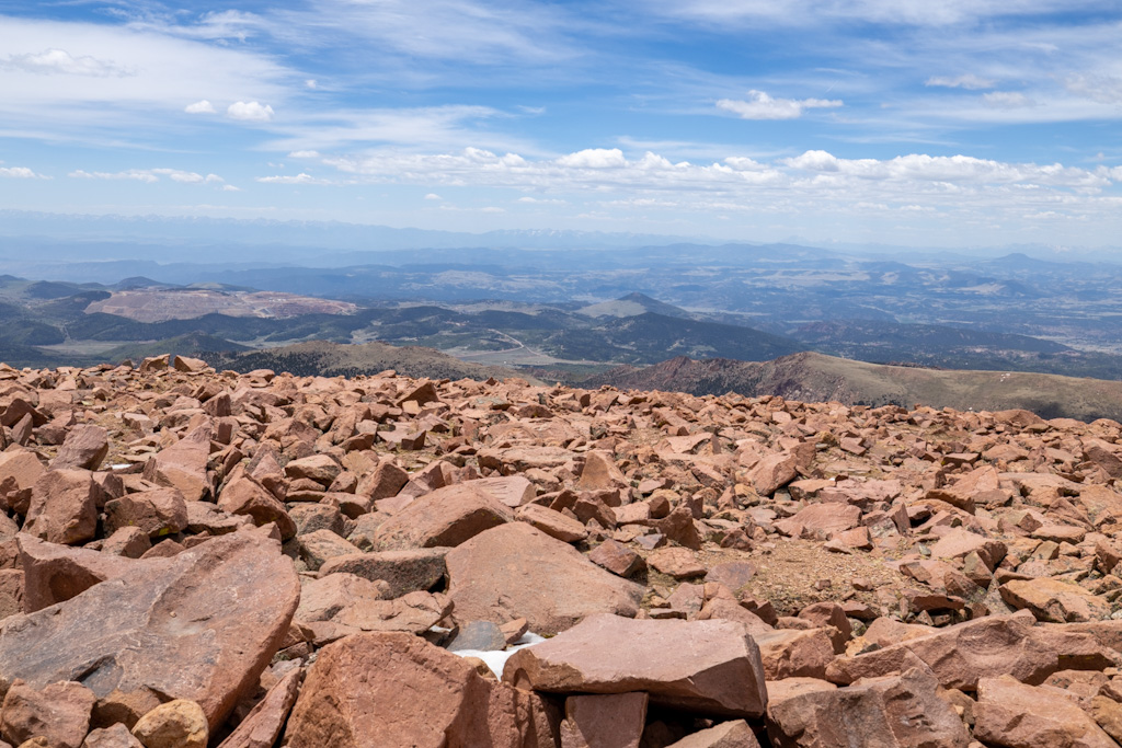
A rock field at the top and there were marmots running around in there.
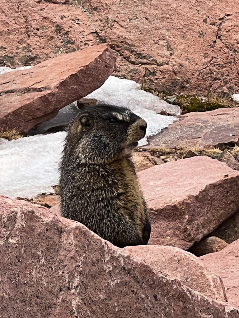
He’s a marmot!
Playing at the top of the world.
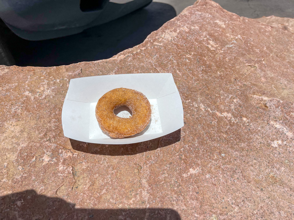
We tried the altitude donuts and we were told they would crumble at lower altitudes. I’m disappointed to say this donut, which I saved for the whole ride down, did not, in fact, crumble.
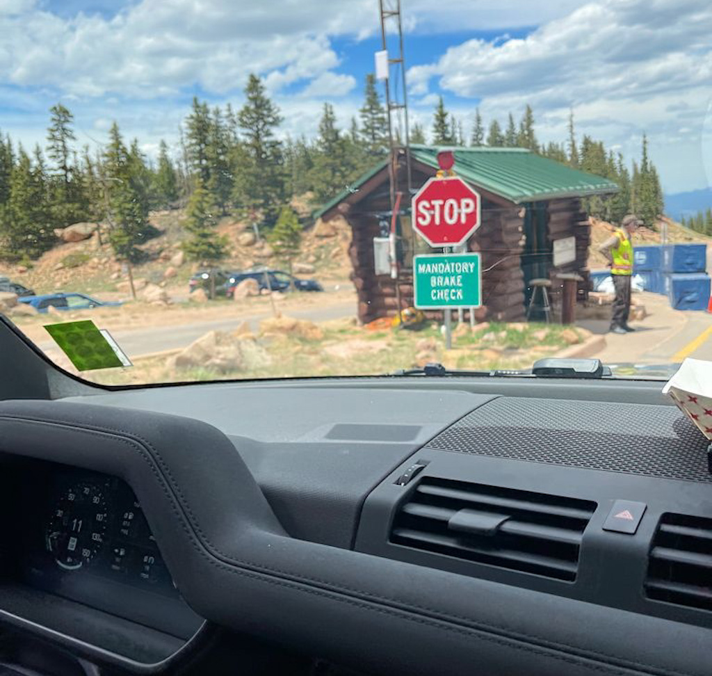
Mandatory brake check on the way down. If your brakes are 300 degrees or hotter you must take a 15 minute break. (Also you are not discouraged from buying souvenirs at this stop! haha)
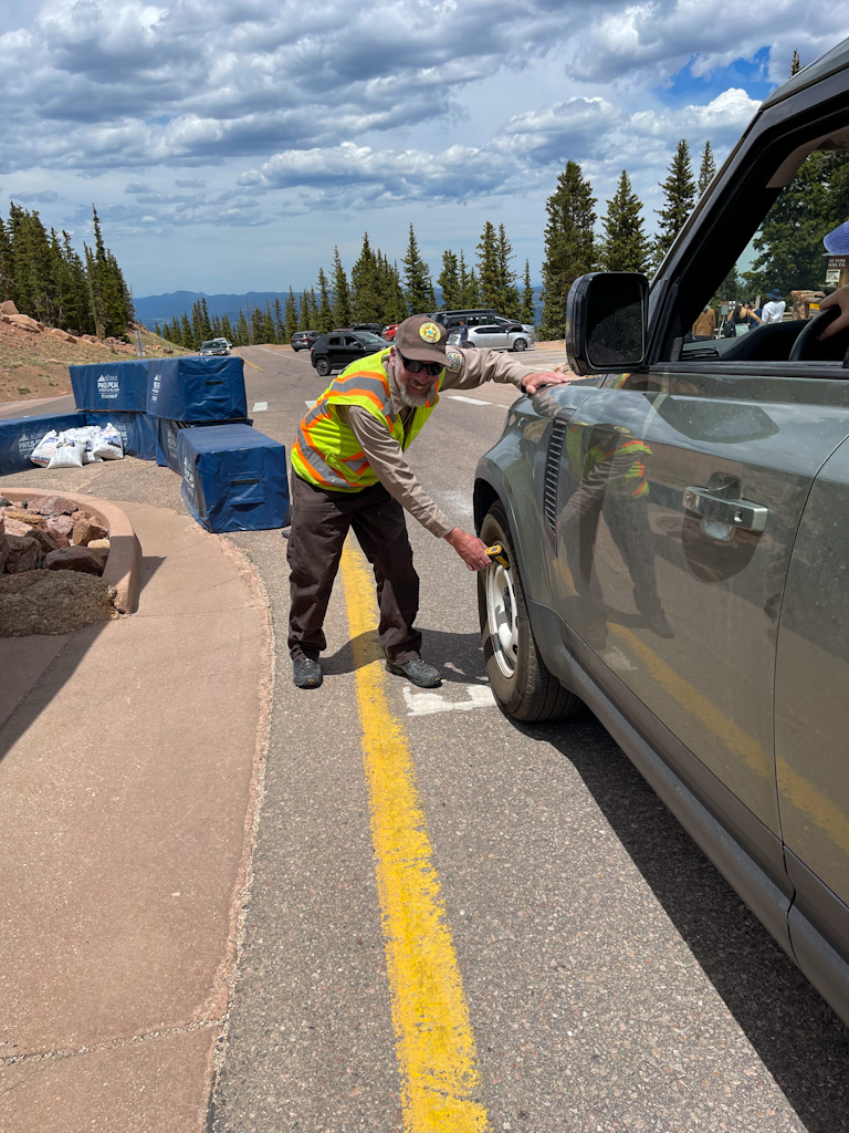
Our brakes were fine at 280 degrees because Jerry used all the special settings in the car instead of the brakes to go downhill.
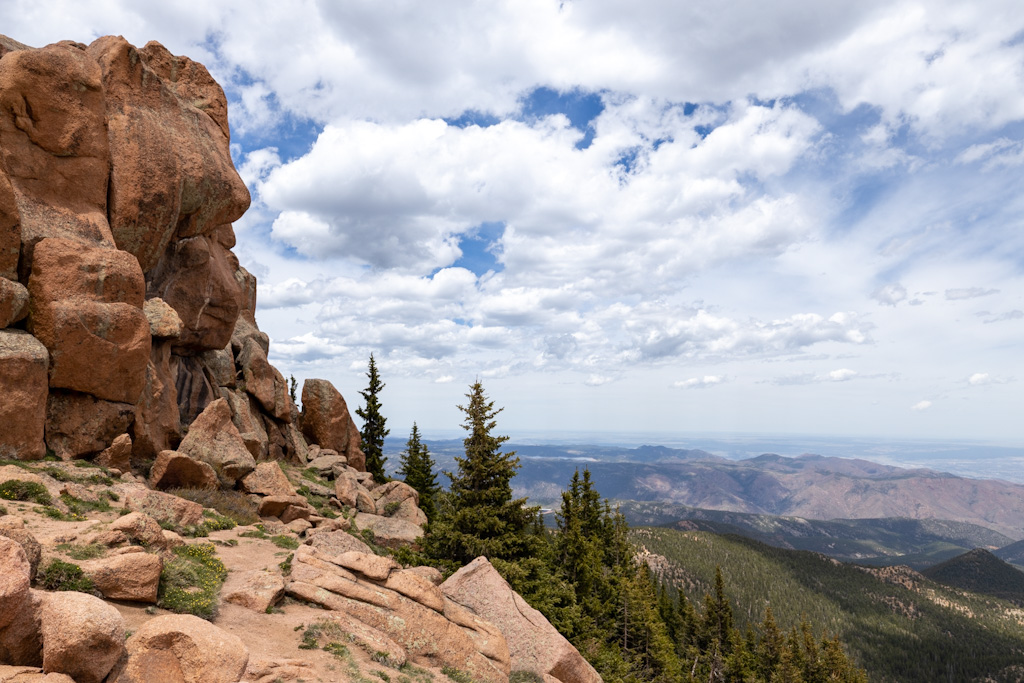
Gorgeous views on the way down.
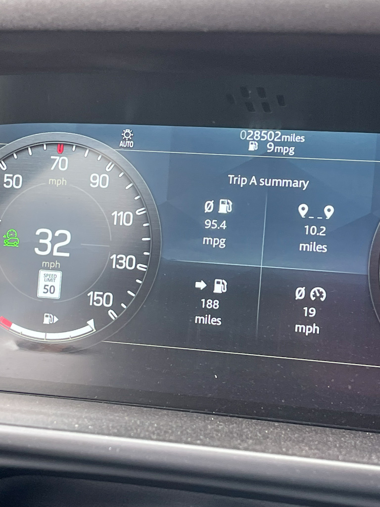
Wow, 95.4 mpg – that’s the best we’ve ever gotten. Going straight downhill seems great for the gas mileage! If only we could get that for the rest of the trip.


Bethany Pokorny
July 8, 2022 — 4:02 pm
The time lapse video is pretty wild. The road definitely gets more harrowing towards the top! Definitely gorgeous views along the way and at the top.
The marmots are bigger than I thought they’d be. I haven’t heard of that animal before. It looked like a cross between a groundhog and a squirrel.